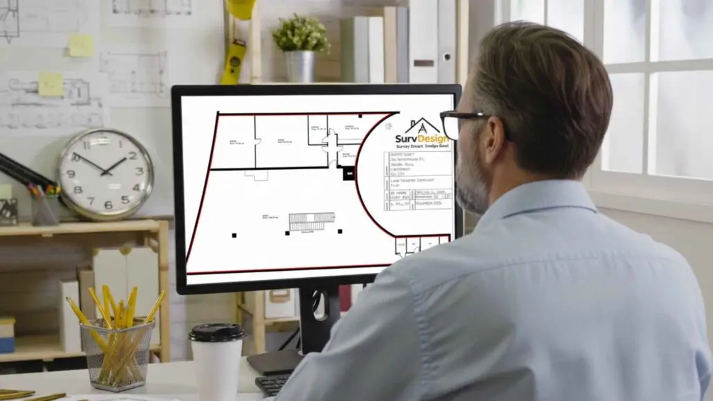
CAD Floor Plans for Planning, Licensing, Fire Safety, As-Builts and Land Registry Compliance
Commercial Floor Plans That Mean Business
From warehouses to office blocks, our CAD floor plans turn complex spaces into clear, compliant drawings your team, tenants, and fire officers actually understand. Fast, accurate, and fully UK-compliant.
Outdated Floor Plans Cost Time, Money — and Patience.
You know the story. The old plans don’t match what’s actually on site. Tenants move walls. Equipment changes. Someone “borrowed” the only paper copy. Before long, you’re working blind — and everyone from your contractor to your insurance provider wants an up-to-date plan yesterday.
That’s where we come in.
We Bring Clarity to Complex Spaces.
Our surveyors visit your premises and carry out a full LiDAR property scan — capturing every square metre in millimetre detail. From that, we produce accurate, scalable CAD floor plans for your building or site, including:
What’s Included in Your Commercial Floor Plans
Warehouses, office blocks, yards and mixed-use premises — captured with LiDAR and delivered as crystal-clear CAD plans your team can actually use.

Room Layouts & Dimensions
Accurate internal footprints, grids, and key dimensions for fit-out and FM.

Fire Routes & Exits
Clearly marked escape routes, exits, and assembly points.

Plant & Service Areas
Dedicated spaces for plant, risers, comms, and service corridors.

Loading Bays, Yards & Parking
External circulation, access, and logistics mapped for operations.

As-Built Documentation
Verified post-completion drawings for handover and compliance.

LiDAR Capture
Millimetre-accurate scans of large or occupied premises.
Fast. Precise. Painless Floor Plans. Here’s How.

We Scan Your Site
Our surveyors visit your property and capture every detail using advanced LiDAR technology — the same tech used in autonomous mapping. No tape measures. No guesswork.


We Draft Your Floor Plans
Your scan data is converted into detailed CAD floor plans by our in-house designers — clean, compliant, and accurate to the last millimetre.


You Get Files That Work
Delivered in your preferred format and ready to share with contractors, councils, or insurers. Updates and revisions? We’ve got you covered.
Turns Out, People Quite Like What We Do.


Production-Ready Floor Plans for Real-World Use
we support architecture, construction, engineering and manufacturing teams
Need crisp, consistent CAD floor plans that planners, licensing teams, fire officers and contractors can read instantly? SurvDesign produces plans for planning, licensing & fire safety, tender/construction and as-built/O&M with correct layers, dimensions, levels and annotations—ready to submit, price and build from.
Licensing & Fire Safety Floor Plans
We produce premises licensing and fire safety plans with the symbols and notes authorities expect for applications and on-site management: escape routes, exit widths, final exits, travel distances (where specified), fire doors (FD30/FD60), detectors/call points, emergency lighting indications*, fire-fighting equipment, assembly points, and occupancy/management notes.
*We integrate your lighting calcs or fire-engineer inputs where required.
What We Draw
Existing / proposed floor plans (all levels, key grids & datums)
Licensing plans — premises licence/HMO licensing drawings with required annotations (use areas, capacities, bars/servery, WCs, accessibility, management notes)
Fire safety plans — escape & compartmentation indications, door ratings, alarm/CPs, E-lighting indications, equipment, assembly points
Room data & finishes call-outs (optional schedules)
Small-works layouts — partitions, doorsets, sanitaryware, FF&E blocks
Refurb/fit-out plans — demo/retained overlays, new build-ups, fire strategy tags*
Set-out plans — critical dims, control lines, tolerances, FFLs
As-built plans — red-line updates and handover/O&M sheets
*Fire strategy symbols/notes integrated when supplied by the designer/engineer.
Inputs We Can Work From
Measured surveys (DWG/PDF) and point-clouds (E57/RCP/RCS)
Legacy PDFs/sketches for Scan-to-CAD conversion
Mark-ups, red-lines and site photos
BIM/architectural bases to align grids and shared coordinates
No measured info? We can survey using LiDAR laser scanners and convert to accurate CAD plans.
Output & Standards
DWG + PDF as standard; DXF/IFC on request
Scales to brief (typ. 1:50 / 1:100; 1:20 for joinery/rooms)
Clean layer naming, blocks, title blocks and plot styles (your standard or ours)
Consistent dimensioning, level tags (FFL/SFL), north points and legends
Optional room/door schedules, GA/RC coordination notes, keynotes
Planning vs Technical vs Licensing vs As-Built
Planning plans — clear layouts, dimensions to external walls, use labels, simple annotations for validation.
Technical/tender plans — tight set-outs, door swings & IDs, specs/notes, penetrations & coordination tags.
Licensing/fire safety plans — authority-friendly symbology, occupancy notes, escape routes, equipment and compliance annotations.
As-built plans — incorporate red-lines and site changes; issued with revision history for O&M manuals.
Our Process
Brief & scope — target scales, sheets, standards, deadlines.
Base build — trace from survey/point-cloud or convert from PDF; align grids/datums.
Annotate & coordinate — dimensions, FFLs, openings, licensing/fire overlays, services references.
Issue & iterate — draft PDFs with clouded revisions for comments.
Final issue — clean DWGs + plotted PDFs; revision log included.
Coordination & Add-Ons
Sections & elevations generated from the same base for consistency
Door/room/finishes schedules keyed to plan tags
Fire strategy overlays (from your fire engineer) & licensing compliance notes for submission packs
Evacuation & zone plans for on-site display (PDF + print-ready)
Area take-offs (GIA/NIA/NSA) and simple area plans
Why Choose SurvDesign
Technician-led clarity — neat linework, reliable dimensions, tidy sheets
Fast turnaround & fixed pricing — dependable for live programmes
Survey-to-sheet — LiDAR capture, conversion and CAD production under one roof

Quick Links
Get In Touch
Building 13, Thames Enterprise Centre, Princess Margaret Road, East Tilbury, Essex, RM18 8RH
- Phone: 0800 494 7023
- Hours: Mon-Fri 8:30AM - 5:30PM

Get In Touch
Building 13, Thames Enterprise Centre, Princess Margaret Road, East Tilbury, Essex, RM18 8RH
- Phone: 0800 494 7023
- Hours: Mon-Fri 8:30AM - 5:30PM