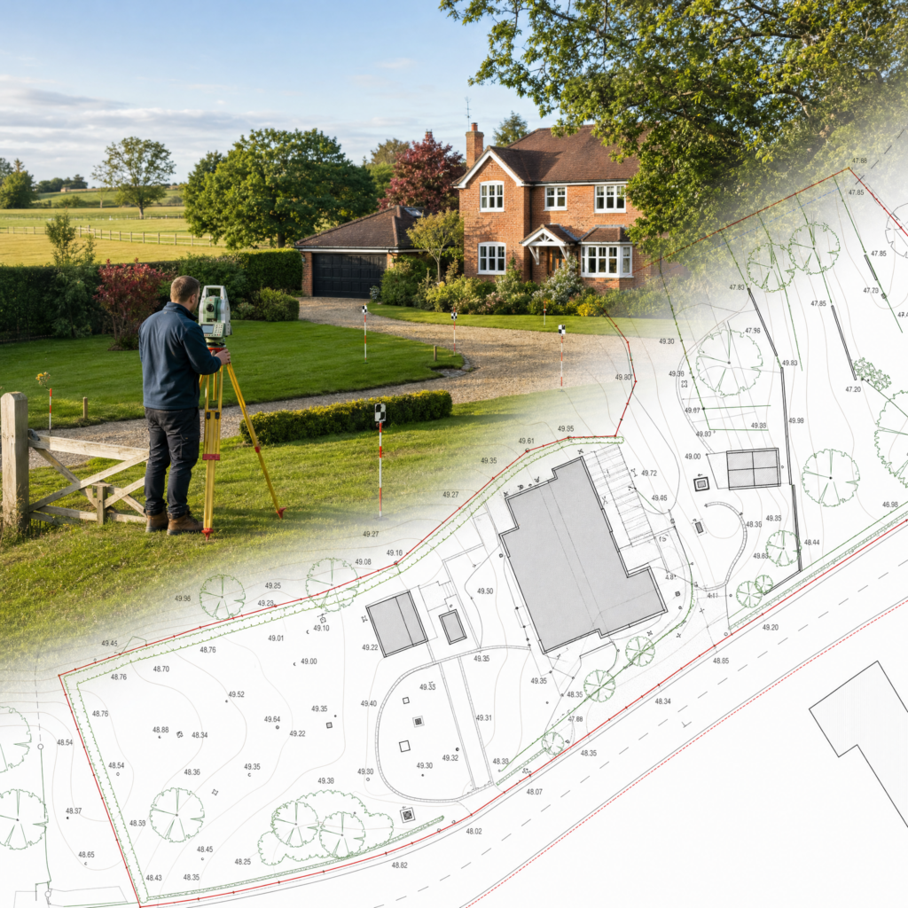
If you need Land Registry compliant plans in Canterbury, the drawing has to make the legal extent easy to understand — especially where older buildings, conversions or shared access arrangements are involved.
At Surv Design Associates, we prepare HM Land Registry compliant lease plans, title plans, transfer plans and conveyancing plans for owners, solicitors, conveyancers, landlords, leaseholders, freeholders, developers and agents across Canterbury and nearby areas including Sturry, Blean and Harbledown. We regularly deal with period city-centre properties, converted flats, modern apartments and village-edge homes.
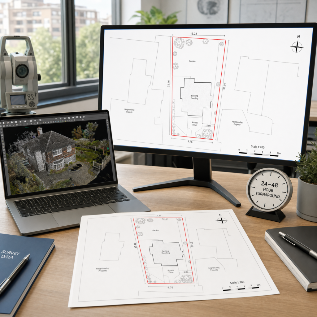
Where the existing information is not good enough, we can support the plan with LiDAR measured surveys, drone surveys and topographical survey data. Fixed fee plans can often be issued in as little as 24 hours after survey.
Avoid rejections and last-minute delays — our plans are drawn to current HMLR guidance, clearly edged and scaled, and delivered fast as solicitor-ready PDFs.
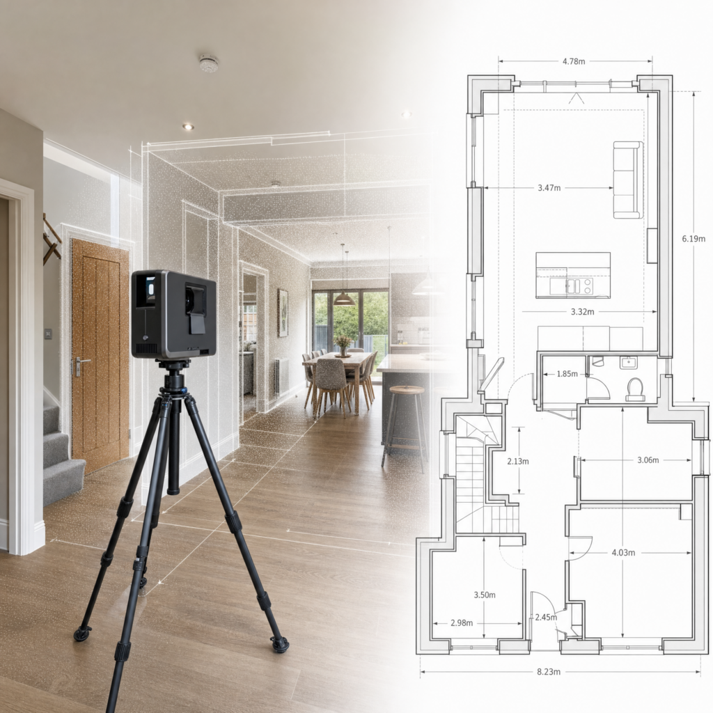
Where fresh measurements are needed, we LiDAR scan your Canterbury property for millimetre-level accuracy. If suitable existing plans are available, we can often work from those instead.
Within 24–48 hours of the scan, we deliver a Land Registry compliant plan that meets every requirement — clear, accurate, and ready to submit.
We pass the finished plan to your solicitor, who submits it to HM Land Registry. With over 1,000 approvals under our belt, you can be confident yours will be next.
A plan that follows HM Land Registry (HMLR) guidance on scale, orientation, colouring and clarity so the legal extent of property can be recorded unambiguously.
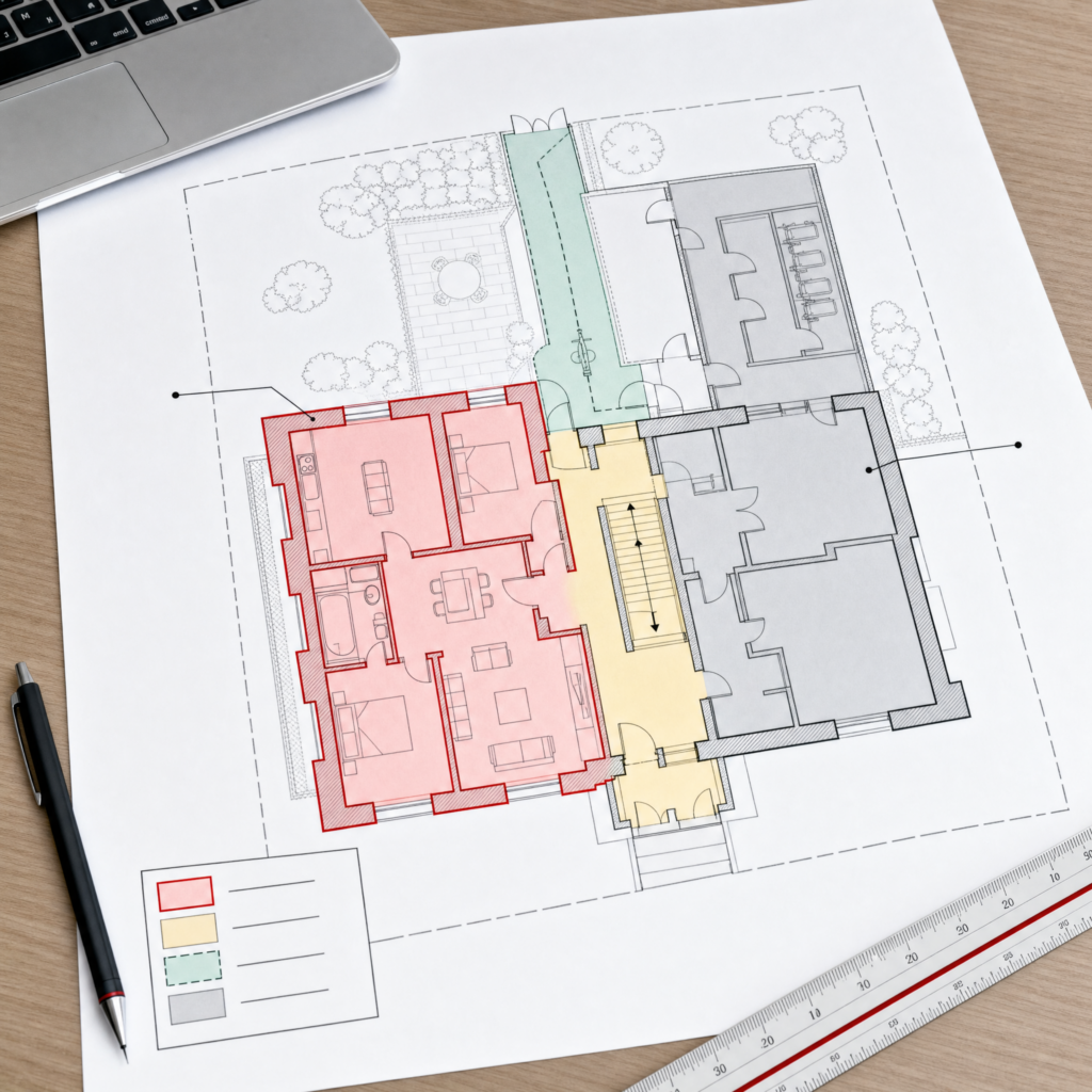
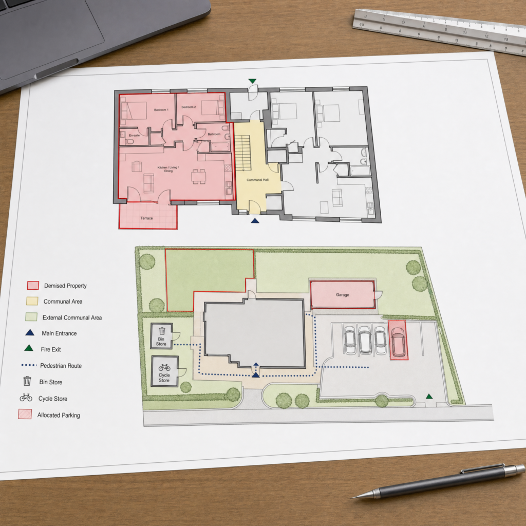
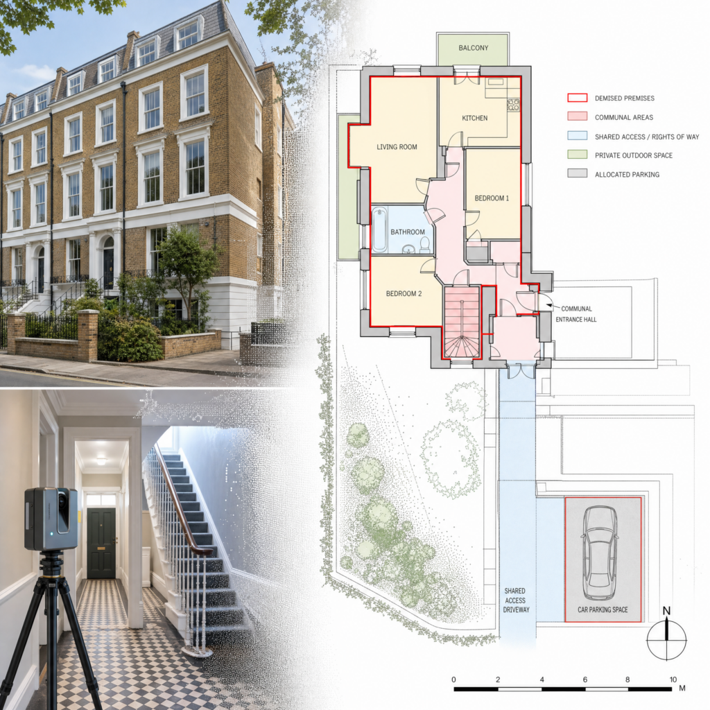
A lease plan defines the demised premises within a building or estate and is referenced in the lease. It shows the extent of the leased area, common parts and any associated rights.
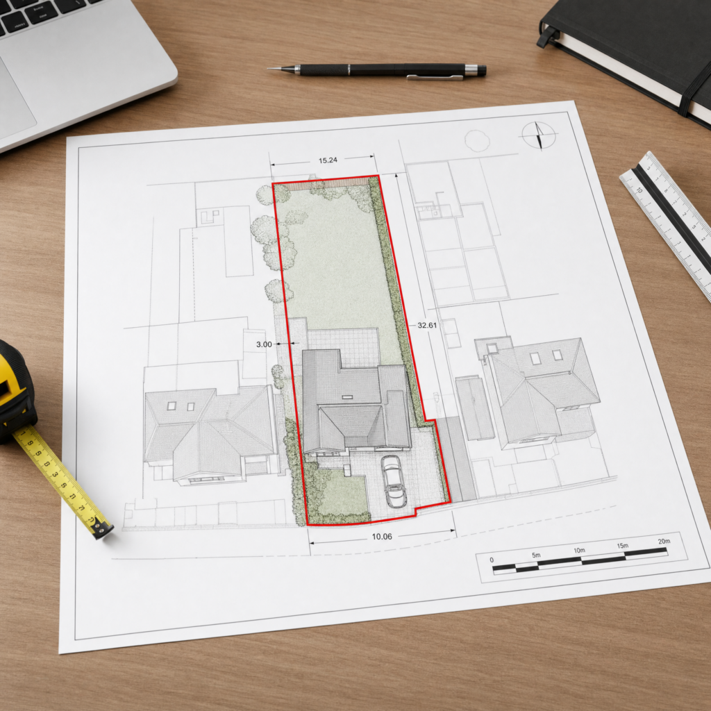
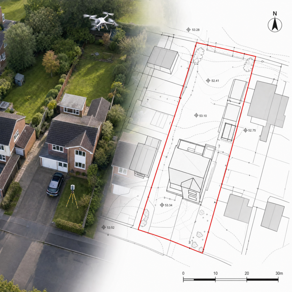
A title plan illustrates the registered title extent for freehold or leasehold ownership and supports the property description in the HM Land Registry register.
A clearly edged boundary at an appropriate scale (typically 1:100 to 1:500 for site plans and 1:100 or 1:200 for internal layouts) with dimensions where needed.
Colour-coded areas for demised premises, common parts, rights of way and areas reserved. Notes explain any shared structures or retained parts.
Marked entrances/exits, bin/bike stores, parking bays, garages and external spaces within or outside the demise.
Required for granting or varying leases, especially where the extent differs from existing records.
Needed when dividing land or buildings into multiple titles or altering boundaries.
Helpful evidence in boundary clarifications and deed updates.
Lease Plans — for Canterbury flats, converted buildings, new leases, lease variations and other leasehold matters.
Title Plans — where the general extent of a freehold or leasehold title needs to be shown clearly.
Transfer Plans — for transfers of part, land sales and boundary changes affecting a wider title.
Plans for Lease Variations — updated drawings where the demise, layout or rights have changed.
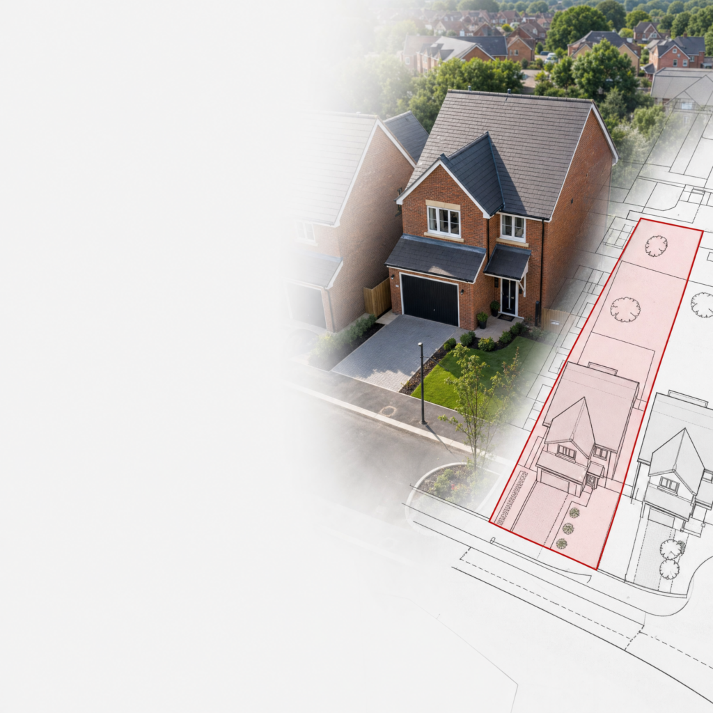
Plans for Property Splits or Part Transfers — suitable where a building or parcel of land is being separated from an existing title.
Lease plans are frequently needed in Canterbury for converted period properties, city-centre flats, apartments and premises with shared entrances or external areas.
They are often needed for:
HM Land Registry says you do not usually need to register leasehold land or property if there are 7 years or less on the lease, and leases granted for a term of more than seven years are compulsorily registrable.
Where the demise, common parts or access cannot be established reliably from existing documents, we can use LiDAR measured survey data to capture the layout accurately before preparing the plan.
HM Land Registry says the purpose of the title plan is to support the property description in the register by providing a graphic representation and identifying the general extent of the land in a registered title.
In Canterbury, that may include period properties with irregular plots, city-centre buildings, village-edge land, transfers of part or situations where access and boundary features need to be shown clearly.
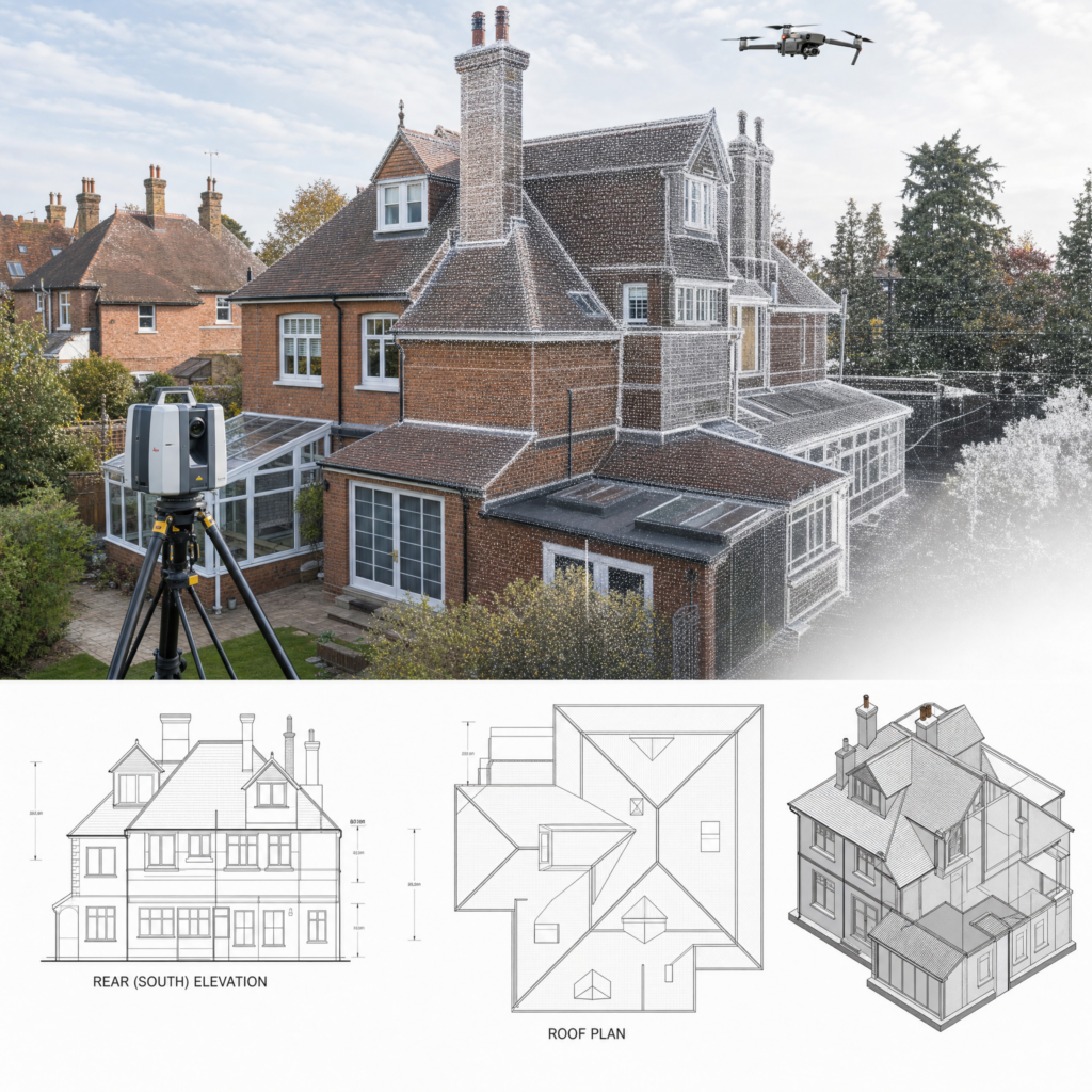
Where required, we support plan preparation with LiDAR measured surveys, drone surveys for roofs and elevations, and topographical survey information — so the finished drawing is based on reliable site information, not assumption.
Not all Land Registry plans are prepared from the same standard of information. Where a job requires greater certainty, we support plan preparation with measured survey technology.
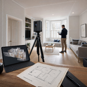
Ideal for capturing accurate internal layouts and building dimensions.
Useful for elevations, roofs and harder-to-access areas where visual accuracy matters.
Helpful where external layout, site features, boundaries and levels need to be understood clearly.
We review the request and establish what type of plan is required.
We work from existing documents and title information, or carry out LiDAR, drone or topographical surveys where greater site accuracy is needed.
We prepare the drawing clearly and professionally, designed to support the intended Land Registry-related application.
In many cases, we issue the completed fixed fee plan in as little as 24 hours after survey.
No hidden extras. No vague pricing. No surprises later.
Fixed fee Land Registry plans in as little as 24 hours after survey.
LiDAR, drone and topographical survey data where required — no guesswork.
Clear, accurate plan preparation designed to support the relevant application.
Plans prepared for Canterbury property owners, solicitors, conveyancers, developers and other property professionals.
A track record of plans accepted by HM Land Registry.
We cover Canterbury and surrounding areas including Sturry, Blean and Harbledown. From a lease plan for a converted flat to a title or transfer plan for land on the edge of the city, we focus on clear boundaries, reliable survey information and a plan your professional adviser can use.
It is a plan prepared to support a Land Registry-related application or transaction, with the land or property shown clearly enough for the intended purpose. HM Land Registry’s main plan preparation guidance is in Practice Guide 40, especially supplement 2.
That depends on the matter in hand. A solicitor or conveyancer will often tell you what is needed. If not, we can usually help identify the most likely plan type from the transaction details.
A lease plan is a plan used to identify the premises included within a lease. It is commonly needed for new leases, leasehold registration, and lease-related changes.
HM Land Registry says the title plan supports the property description in the register and shows the general extent of the land in the registered title.
Yes. We regularly prepare plans for property owners and for professionals involved in transactions and registration matters.
We provide fixed fee pricing, agreed upfront before work starts.
In many cases, we can prepare fixed fee Land Registry plans in as little as 24 hours after survey.
Yes. Where needed, we support plan preparation with LiDAR measured surveys, drone surveys and topographical survey data.

Lease plans, title plans, transfer plans — prepared clearly, on a fixed fee basis, supported by LiDAR, drone and topographical survey data where required. Delivered in as little as 24 hours after survey.
Building 13, Thames Enterprise Centre, Princess Margaret Road, East Tilbury, Essex, RM18 8RH
282 Leigh Road, Leigh-on-Sea, Essex, SS9 1BW
Building 13, Thames Enterprise Centre, Princess Margaret Road, East Tilbury, Essex, RM18 8RH
282 Leigh Road, Leigh-on-Sea,
Essex, SS9 1BW
Need help? Our team is just a message away