
Land Registry Compliant Plans Kent | Title Plans | Lease Plans | Conveyancing Plans
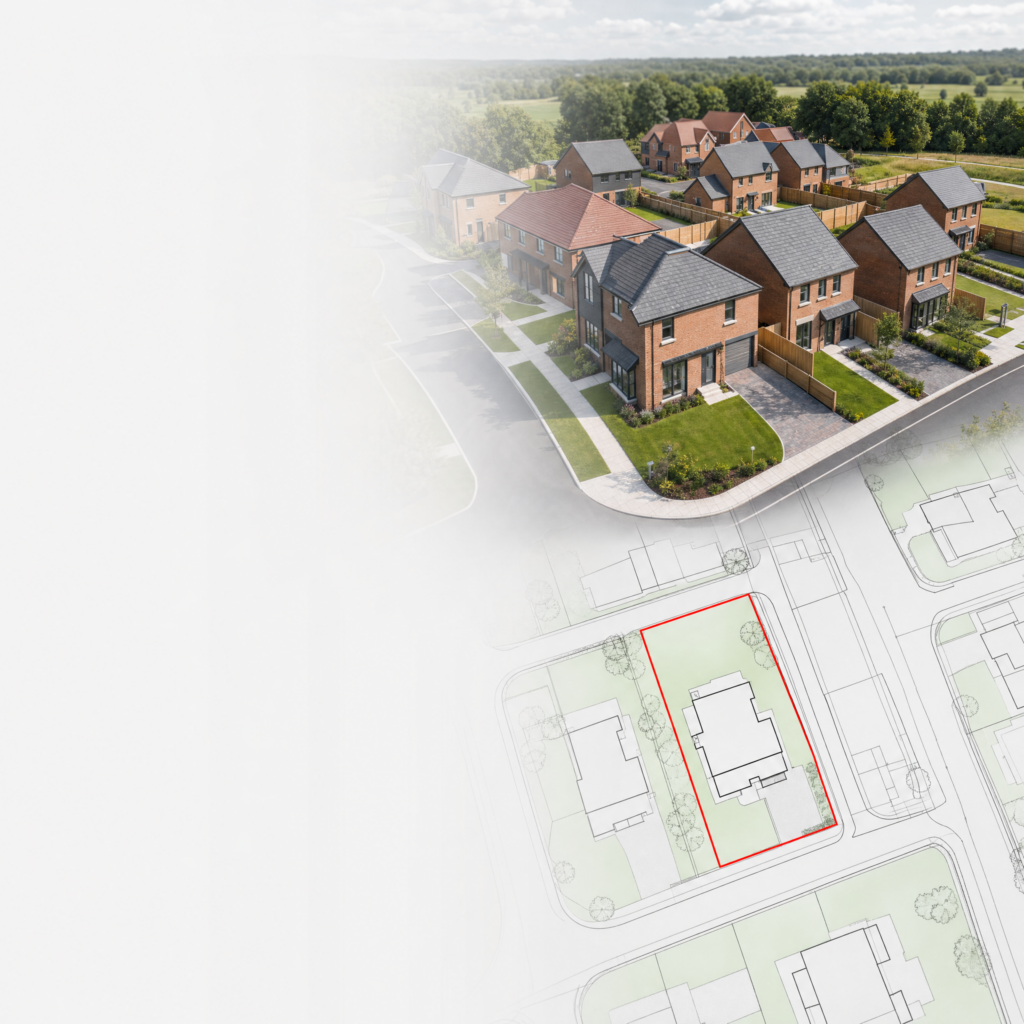
Fixed Fee Land Registry Compliant Plans Across Kent
If you need Land Registry compliant plans in Kent, you do not want guesswork, rejected plans or delays holding up a property transaction. You want the right plan, prepared clearly and accurately, first time.
At Surv Design Associates, we prepare HM Land Registry compliant lease plans, title plans, transfer plans and conveyancing plans for property owners, solicitors, conveyancers, landlords, leaseholders, freeholders, developers and agents throughout Kent.
Our Kent coverage includes Ashford, Canterbury, Dartford, Dover, Folkestone, Gravesend, Maidstone, Margate, Medway, Sevenoaks and Tonbridge, as well as surrounding towns and villages.
Where greater site accuracy is needed, we can support plan preparation with LiDAR measured surveys, drone surveys and topographical survey data. And because Land Registry matters are often time-sensitive, fixed-fee plans can often be produced in as little as 24 hours after our survey.
1,000+ Accepted Plans
(Because HM Land Registry Compliance Isn't Guesswork)
Avoid rejected plans and last-minute delays. Our drawings are prepared to support HM Land Registry applications, with clear boundaries, suitable scales and the information needed to identify the relevant property or land.
Avoid Delays. Avoid Rejections. Our 3-Step Process Across Kent
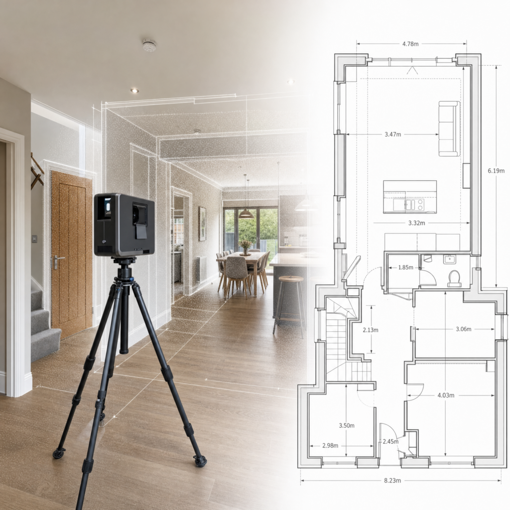
We Capture Your Property (Properly)
Where a measured survey is required, we can capture the Kent property using LiDAR technology to create reliable existing information. For suitable jobs, we may also be able to work from existing plans or survey information you already have.
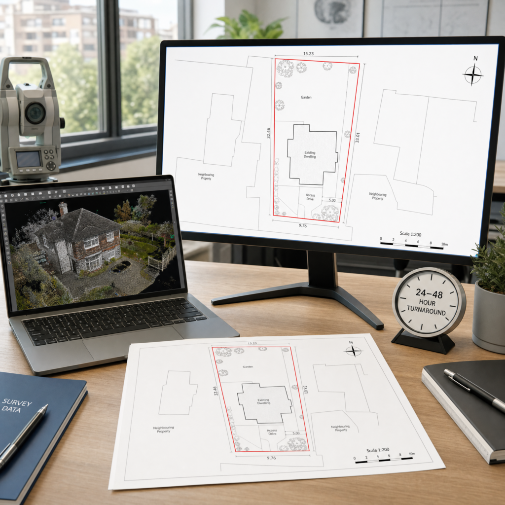
We Produce Your Compliant Plan
Once the necessary information is available, we prepare the Land Registry compliant plan clearly and professionally, showing the relevant extent, access, rights and other details required for the transaction.

Your Solicitor Submits. You Relax.
The completed plan can then be passed to your solicitor or conveyancer for use with the relevant HM Land Registry application or legal documentation. Our job is to make sure the drawing itself is clear, accurate and ready for professional use.
What Is a Land Registry Compliant Plan?
A Land Registry compliant plan is prepared to support a property transaction or registration matter by showing the relevant land or premises clearly. Depending on the application, that can include the extent of a lease, a transfer of part, rights of way, shared areas, parking spaces, gardens, stores or other land connected with the title.
Lease Plan
A lease plan identifies the premises included within a lease. It can show the demised area, common parts, access routes, parking, storage, gardens and other rights or areas that form part of the lease arrangement.
Title Plan
A title plan supports the property description connected with a registered title and provides a graphic representation of the general extent of the land concerned.
What Your Plan Will Show
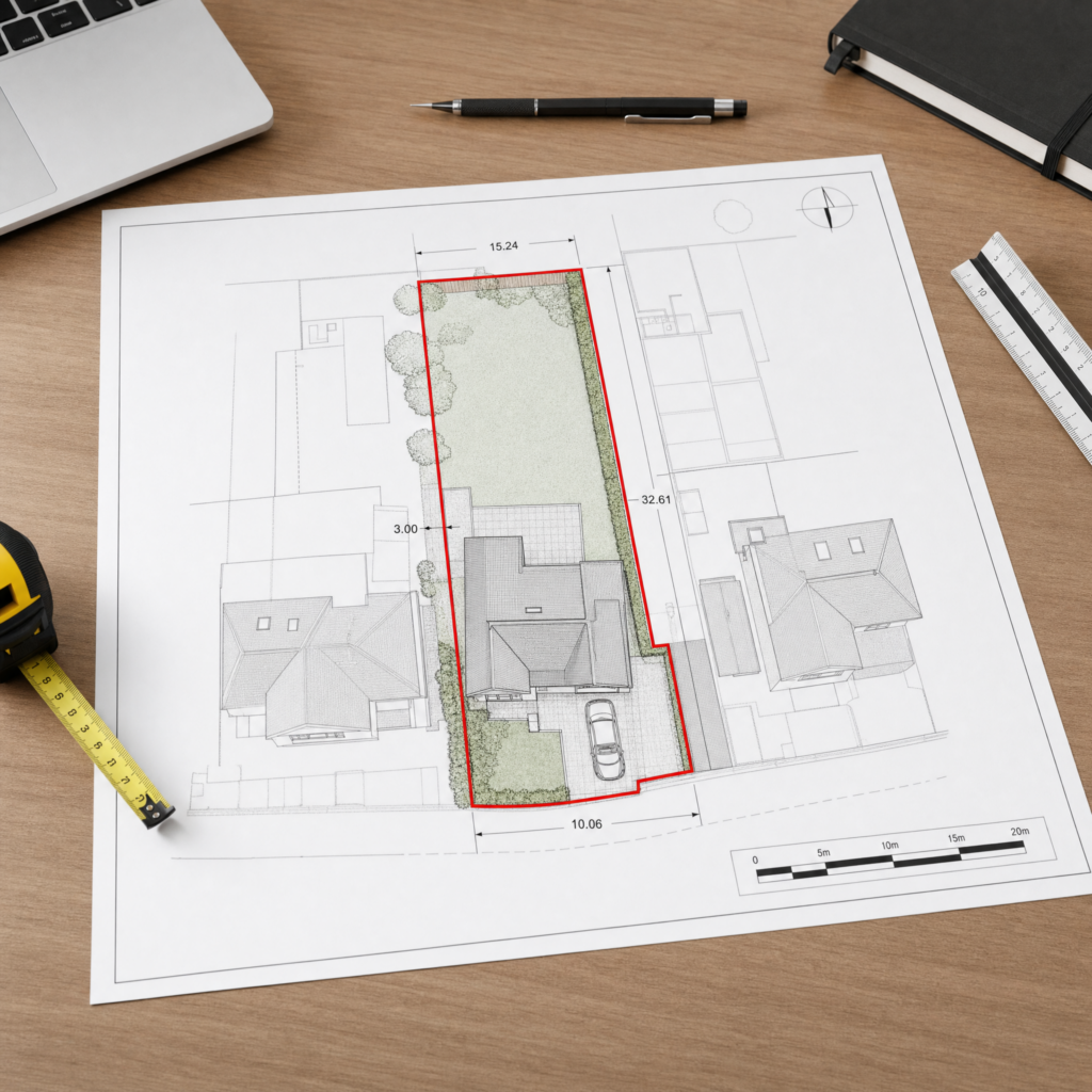
Boundaries & Scale
The relevant land or premises shown clearly at an appropriate scale, with boundaries edged or otherwise identified so the extent can be understood without ambiguity.
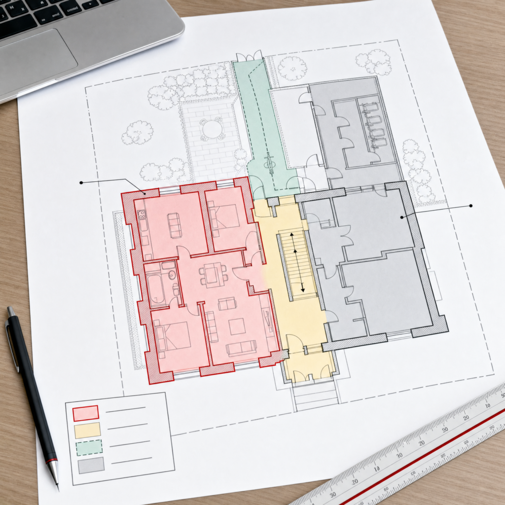
Demised Area, Common Parts & Rights
Where relevant, the plan can identify the demised premises, communal areas, rights of way, shared access, retained areas and other rights using clear colouring, edging and notes.
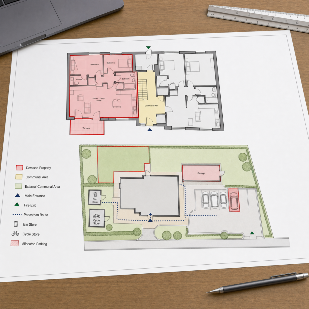
Access, Parking & Outbuildings
Access points, paths, parking spaces, garages, bin or cycle stores, gardens, yards and outbuildings can be shown where they form part of the property or transaction.
When You Need a Land Registry Compliant Plan
New Leases & Sales
Commonly required when granting a new lease, varying an existing lease or selling a leasehold interest where the premises need to be clearly identified.
Transfers of Part & Split Titles
Used where part of an existing title is being transferred, land is being split, or a building or site is being divided into separate registered interests.
Resolving Boundary Questions
A professionally prepared plan can also support boundary clarification, deed updates and other property matters where the land affected needs to be shown clearly.
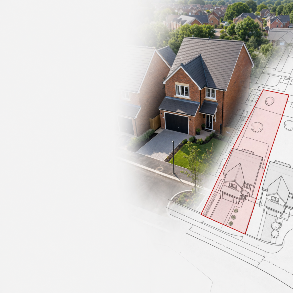
What Types of Land Registry Plans Do We Prepare Across Kent?
Lease Plans — HM Land Registry compliant plans for new leases, lease variations, lease extensions and related leasehold matters.
Title Plans — plans prepared where land or property needs to be clearly identified in connection with a registration or legal matter.
Transfer Plans — for transfers of part, property splits, boundary changes and transactions involving part of a wider title.
Plans for Lease Variations — updated plans where the layout, demise or associated rights have changed.
Plans for Property Splits — plans supporting the division of a building, plot or wider ownership into separately identified parts.
HM Land Registry Compliant Lease Plans Kent
Lease plans are one of the most common Land Registry drawing requests we handle across Kent.
They may be required for new leases, lease extensions, lease variations, sales of leasehold interests and registration of leasehold property.
A good lease plan needs to make the extent of the premises easy to understand. Depending on the property, that may include internal accommodation, gardens, parking spaces, stores, access routes, communal areas and rights connected with the lease.
Where the existing layout is not accurately documented, we can support the drawing with LiDAR measured survey information so the finished plan reflects the property itself rather than relying on assumptions.
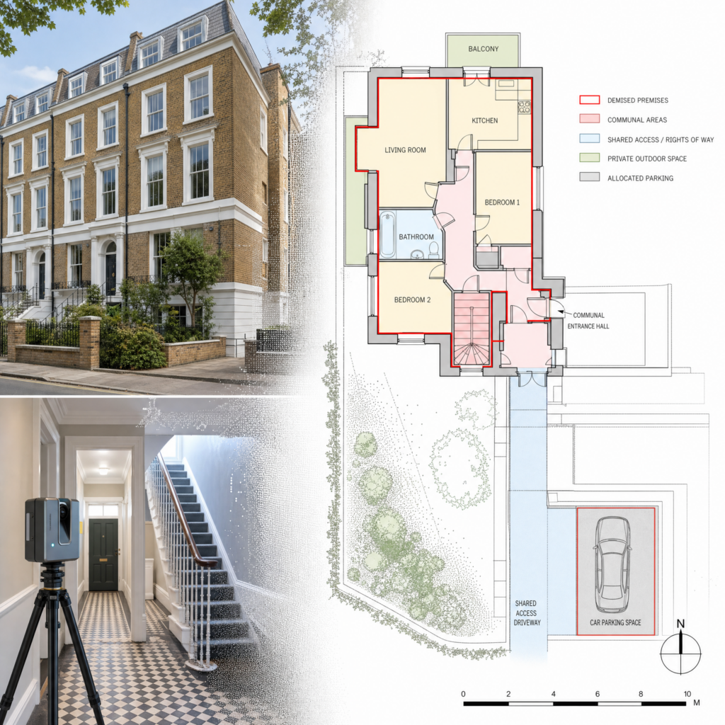
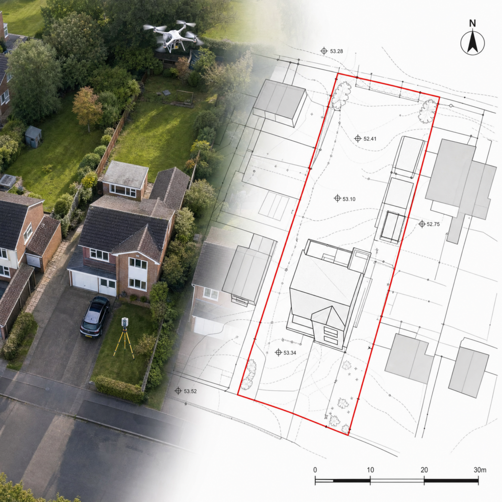
HM Land Registry Compliant Title Plans Kent
Title plans are used to support the property description in the register by providing a graphic representation of the general extent of the land in a registered title.
Across Kent, we prepare title-related plans for transfers, property splits, boundary matters and other transactions where the land affected needs to be identified clearly.
Where required, plan preparation can be supported by LiDAR measured surveys, drone surveys and topographical survey information so the drawing is based on reliable site data.
Precision at Every Stage
Not every Land Registry plan needs the same level of survey information. Where the transaction or property requires greater certainty, we can support the drawing with modern measured-survey technology.

LiDAR Measured Surveys
Useful for capturing accurate internal layouts and building dimensions for flats, houses, converted buildings and commercial premises across Kent.
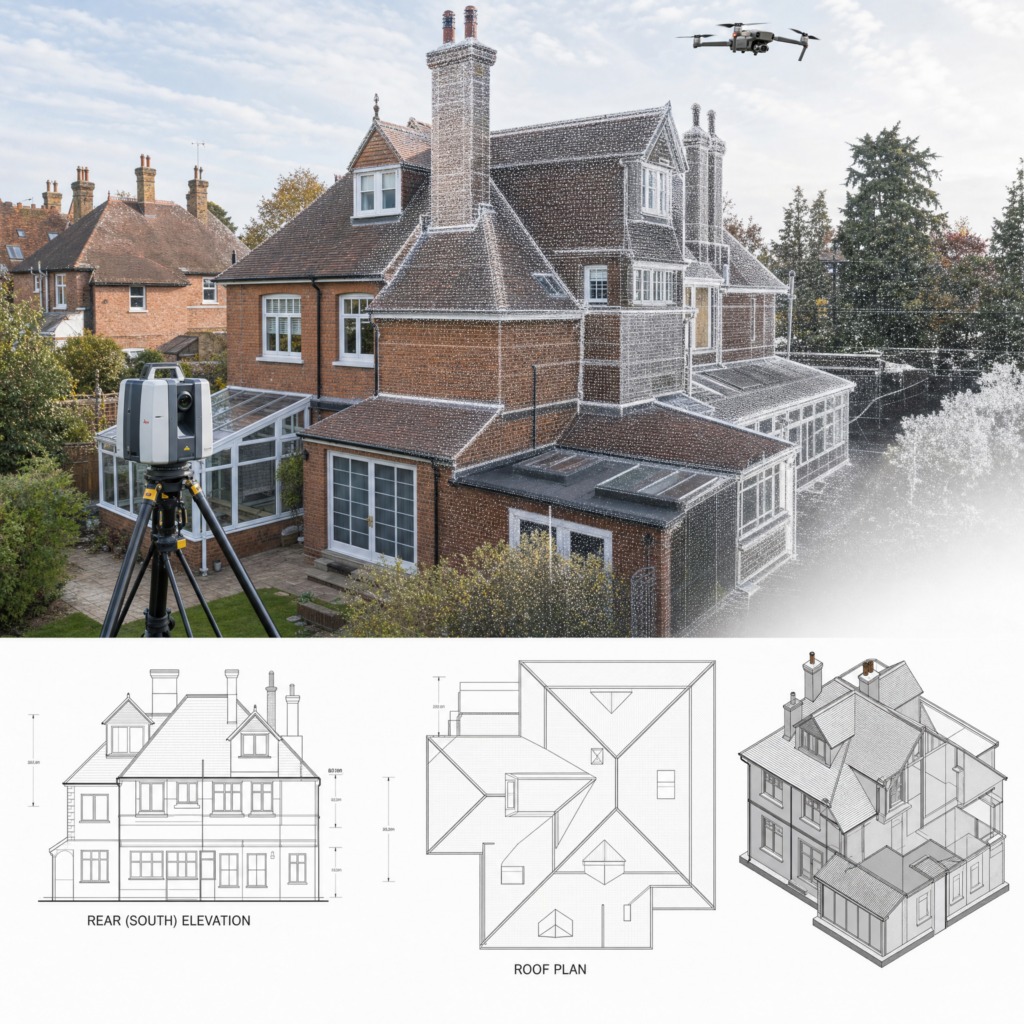
Drone Surveys
Useful where roof forms, elevations, larger sites or difficult-to-access external areas need to be recorded visually.
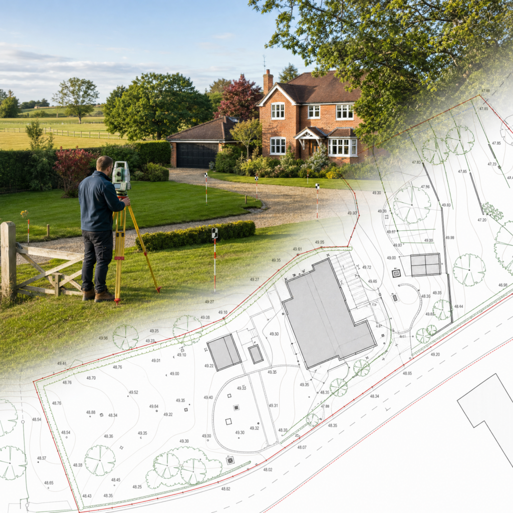
Topographical Surveys
Suitable where site layout, boundaries, external features and levels need to be understood more clearly before the final plan is prepared.
Our Process for Land Registry Compliant Plans in Kent
1. We Understand What Is Needed
We review the transaction or request and establish what type of plan is likely to be required, such as a lease plan, title plan or transfer plan.
2. We Gather the Right Information
We work from existing plans, title information and other documents where suitable, or arrange LiDAR, drone or topographical survey work where better site information is needed.
3. We Prepare the Plan
We prepare the drawing clearly and professionally, showing the relevant property extent, access, rights and other information required for the intended Land Registry-related matter.
4. Fast Delivery
Where the information is straightforward and available promptly, completed fixed-fee plans can often be issued in as little as 24 hours after survey.
Why Clients Choose Us for Land Registry Compliant Plans in Kent
Fixed Fees Agreed Upfront
Your fee is agreed before work begins, so you know what the plan and any agreed survey work will cost.
Fast Turnaround
Many straightforward Land Registry plans can be prepared quickly, including fast turnaround after a measured survey where required.
Precision Matters
LiDAR, drone and topographical survey information can be used where greater confidence in the property or site layout is needed.
Plans Prepared Properly
Plans are prepared clearly and professionally to support the relevant lease, transfer, title or registration matter.
Suitable for Professional Use
We regularly prepare plans for property owners, solicitors, conveyancers, landlords, developers and other property professionals throughout Kent.
1,000+ Accepted Plans
Our team has prepared more than 1,000 plans that have gone on to be accepted as part of HM Land Registry-related matters.
Land Registry Compliant Plans Across Kent
We provide Land Registry compliant plans throughout Kent, including Ashford, Canterbury, Dartford, Dover, Folkestone, Gravesend, Maidstone, Margate, Medway, Sevenoaks and Tonbridge, plus surrounding towns and villages.
Whether the property is a flat, freehold house, converted building, commercial premises, split title or transfer of part, the priority is the same: the right plan, prepared clearly, accurately and without unnecessary delay.
FAQ: Land Registry Compliant Plans Kent
What is a Land Registry compliant plan?
It is a plan prepared to support a Land Registry-related application, lease or property transaction, with the relevant land or premises shown clearly enough for the intended purpose.
Do I need a lease plan or a title plan?
That depends on the transaction. Your solicitor or conveyancer will often specify the type of plan required. If the requirement is unclear, we can review the information you have and help identify the most appropriate drawing.
What is a lease plan?
A lease plan identifies the premises and any related areas included within a lease. It may show the demised area, shared parts, access, parking, gardens, stores and other rights.
What is a title plan?
A title plan provides a graphic representation supporting the property description associated with a registered title and generally identifies the extent of the land concerned.
When is a transfer plan required?
A transfer plan is commonly required when only part of an existing title is being transferred, such as a piece of garden, part of a development site, a building plot or part of a larger property.
Can you work from an existing floor plan?
Yes, where the existing plan contains enough reliable information for the transaction. If it does not, we can arrange a measured survey.
Can you survey the property as well?
Yes. Where required, we can use LiDAR measured surveys and, for suitable sites, drone or topographical survey information to support preparation of the plan.
How quickly can you prepare a Land Registry plan in Kent?
Turnaround depends on the property and information required, but many straightforward plans can be produced quickly, including in as little as 24 hours after survey in suitable cases.
Do you cover all of Kent?
Yes. We prepare Land Registry compliant plans throughout Kent, including Ashford, Canterbury, Dartford, Dover, Folkestone, Gravesend, Maidstone, Margate, Medway, Sevenoaks and Tonbridge, as well as surrounding areas.
Looking for Land Registry Compliant Plans in Kent?
Lease plans, title plans and transfer plans prepared clearly on a fixed-fee basis, with LiDAR, drone and topographical survey information available where required. Fast turnaround is available for suitable projects throughout Kent.

Quick Links
Thurrock Office
Building 13, Thames Enterprise Centre, Princess Margaret Road, East Tilbury, Essex, RM18 8RH
Southend Office
282 Leigh Road, Leigh-on-Sea, Essex, SS9 1BW
- Free Phone: 0800 494 7023
- Hours: Mon-Fri 8:30AM - 5:30PM

Thurrock Office
Building 13, Thames Enterprise Centre, Princess Margaret Road, East Tilbury, Essex, RM18 8RH
Southend Office
282 Leigh Road, Leigh-on-Sea,
Essex, SS9 1BW
- Phone: 0800 494 7023
- Hours: Mon-Fri 8:30AM - 5:30PM